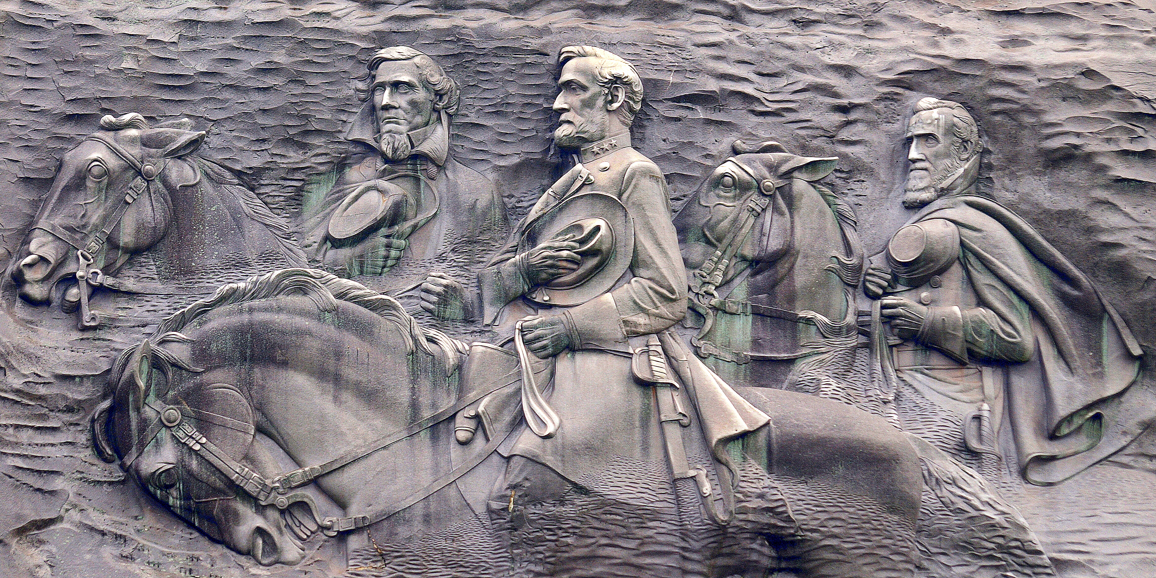
This is a digital history project dedicated to mapping Confederate monuments in the United States. The site is organized into individual pages, examining single states and their Confederate monuments. The project is oriented towards answering two questions about Confederate monuments: when were they built, and to whom are they dedicated. This is a living project, and more maps will be added over time. First priority is given to the states of the former Confederacy and Border States, but the project will evolve to map Confederate monuments throughout the United States, and finally international statuary and memorials.
The project combines the methodology of cartography and history with the ultimate purpose of producing a range of interpretive maps that generate new insights into the nature of Confederate monuments, while contextualizing their history. Each map is accompanied by a map report, explaining the results and providing historical context.
The maps are produced using QGIS mapping software and data produced by the Southern Poverty Law Center (SPLC). The SPLC has produced a comprehensive dataset of all Confederate maps in the United States. This project endeavors to provide more detailed maps, focused strictly on monuments and statues. It hopes to generate an archive of sources for use by scholars, students, and teachers to facilitate debate and discussion about Confederate monuments.
This project began in the fall of 2020. Debates about Confederate monuments is one of the most controversial issues in the present public discourse. This research aims to offer the combined skills of cartography and historical interpretation to the chorus of voices on the topic.
Gettysburg College’s Digital Scholarship Office and Civil War Institute are the co-sponsors of this project. For more information about the project, please visit the “Team Members” page to get in touch with students or faculty supervisors.